


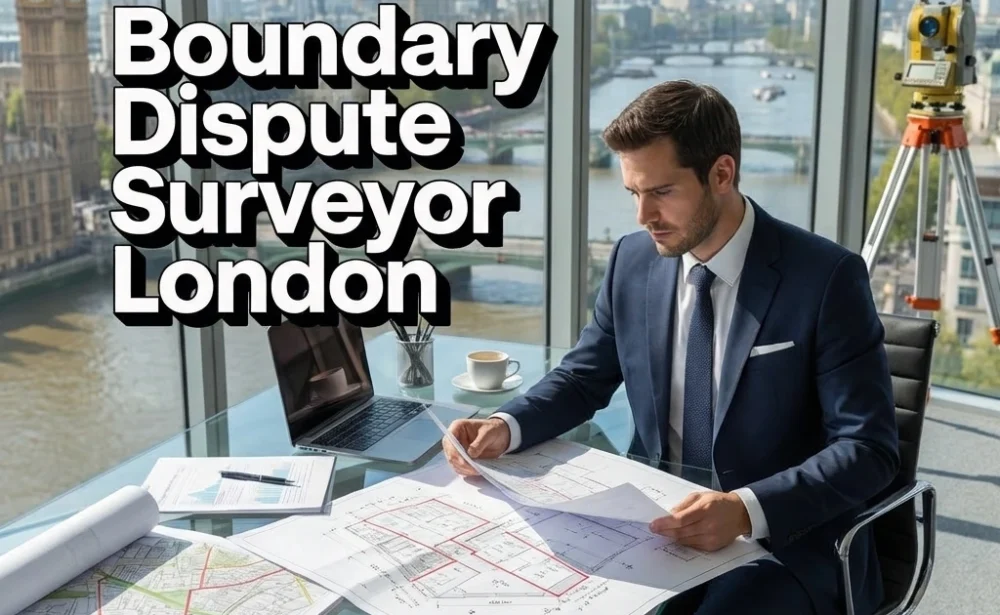
Boundary Dispute Surveyor London
A boundary dispute is one of the most consequential property disagreements a London homeowner, landlord, or developer can face. The line between your land and your neighbour’s land determines what you can build, where a fence can legally stand, and what you actually own. When that line is contested, the consequences reach far beyond the immediate argument.
Mortgage applications stall, property sales fall through, and a disagreement that began over a few centimetres of garden can escalate into litigation costing tens of thousands of pounds.
Structura Surveying provides professional boundary dispute surveys across Greater London, giving property owners, solicitors, and developers the measured, evidence-based clarity they need to resolve these conflicts with confidence and without unnecessary delay.
As a boundary dispute surveyor working across London, Structura Surveying examines every relevant source of evidence before reaching any conclusion. Title deeds, Land Registry title plans, historic Ordnance Survey mapping, original conveyance documents, and the physical features present on the ground are all analysed together.
The result is a boundary survey report that sets out, in plain and precise language, where the legal boundary is most likely to lie and why the available evidence supports that position.
What Is a Boundary Dispute Survey?
A boundary dispute survey is a professional assessment carried out by a qualified surveyor to determine the legal and physical extent of a property boundary in relation to an adjoining property, road, or piece of land. The surveyor examines title deeds, Land Registry plans, historic maps, and physical site evidence to produce a measured report that can be used in negotiation, mediation, or legal proceedings.
In London, where Victorian and Edwardian terraces sit wall to wall and permitted development extensions push buildings to the very edge of what planning rules allow, the gap between what a Land Registry title plan implies and what physically exists on the ground can be surprisingly wide.
Land Registry title plans in urban areas are prepared at a scale of 1:1250, which means the boundary line printed on a title plan represents a width of approximately half a metre at ground level. That margin is large enough to accommodate a fence post, a garden wall, or even a narrow outbuilding.
When neighbours disagree about which side of a structure the legal boundary falls on, no single document resolves the question definitively. A professionally conducted boundary dispute survey gathers all available evidence across the physical, documentary, and historical record and produces a measured opinion that courts, solicitors, and mediators can rely upon.
What Does a Boundary Dispute Surveyor Do?
A boundary dispute surveyor determines the legal position of a contested property boundary by examining title deeds, historic Ordnance Survey maps, conveyance documents, and physical site features.
They produce a written expert report setting out where the boundary most likely lies and why, which can be used in negotiation, mediation, or as expert witness evidence in court.This is a distinct professional discipline from general building surveying or valuation.
It requires a thorough understanding of how Land Registry title plans are prepared and what they can and cannot prove, familiarity with how historic Ordnance Survey maps record boundary features at different periods, knowledge of the legal principles governing boundary determination under English property law, and the practical surveying ability to measure and record boundary features accurately on site.
Structura Surveying’s chartered surveyors bring this combined expertise to every boundary dispute instruction in London.
Our work follows the RICS guidance note Boundaries: Procedures for Boundary Identification, Demarcation and Dispute Resolution, and every report is prepared to the standard of impartiality and evidential rigour that RICS professional practice requires.
Our surveyors approach each instruction as independent professionals whose obligation is to the truth of the evidence rather than to the outcome any particular client hopes to achieve.
Why Boundary Disputes Are Particularly Complex in London
London’s built environment creates boundary complications that are relatively uncommon in rural or newer suburban settings. Properties across inner London boroughs including Islington, Hackney, Lambeth, and Tower Hamlets were largely constructed during the Victorian and Edwardian periods, often at speed and in dense urban blocks.
Original builders worked from hand-drawn plans that were not always accurately transferred to what was built on the ground, and over a century of subsequent alterations including rear extensions, loft conversions, boundary movements, and multiple changes of ownership means that the relationship between an original conveyance plan and the property as it stands today can be genuinely difficult to establish without professional investigation.
Converted flats introduce a further layer of complexity that is particular to London’s housing stock. Where a Victorian or Edwardian house has been divided into leasehold flats, the position of party walls, external walls, roof voids, and subterranean spaces becomes a boundary question in three dimensions rather than two.
For flat owners in London, understanding the precise extent of their demise as defined by the lease and as it exists physically on the ground often requires a surveyor with experience in both boundary law and the specific characteristics of London’s conversion properties.
Structura Surveying’s boundary dispute surveyors work across all thirty-two London boroughs and the City of London. Our surveyors regularly work across central London boroughs including Westminster, Kensington and Chelsea, Southwark, and Camden, as well as outer boroughs including Bromley, Sutton, Harrow, Bexley, Ealing, and Havering.
We also accept instructions in areas directly bordering Greater London where the boundary dispute has a London connection, including properties abutting green belt land, local authority holdings, and Transport for London land.
How a Boundary Dispute Survey Works
Every boundary dispute survey Structura Surveying carries out in London follows a structured process built around three stages: initial consultation, site inspection, and expert report.
The instruction begins with an initial consultation during which our surveyor discusses the nature of the disagreement, reviews documentation already held by the client, and explains clearly what the survey is likely to establish and where the evidence may remain ambiguous. This honesty at the outset matters.
A boundary dispute surveyor’s primary duty is to the evidence and not to confirming what a client hopes to hear, and Structura Surveying will always tell a client directly if the material does not support a clear-cut conclusion.
The site inspection involves attending the property and the disputed boundary area to take precise measurements, record the positions of all boundary features including walls, fences, hedges, and drainage infrastructure, and examine anything on the ground that either supports or contradicts the documentary record.
Where access to the adjoining property is available and agreed by all parties, this provides valuable corroborating evidence. In cases where the disputed strip of land is narrow and exact dimensions are critical, Structura Surveying can commission detailed topographical survey work to achieve a greater level of measured precision.
Following the site inspection, our surveyors produce a detailed written report that brings together the documentary and physical evidence into a clear, referenced account of where the boundary is most likely to lie.
This report is written to be understood by solicitors, mediators, and courts as well as by the property owner directly. Where the matter proceeds to litigation, the report is structured to meet the standards required of expert witness evidence under the Civil Procedure Rules Part 35.
How Long Does a Boundary Dispute Survey Take?
In most cases, Structura Surveying is able to carry out the site inspection within one to two weeks of instruction and deliver the completed boundary survey report within a further two to three weeks. More complex instructions involving detailed topographical survey work, extensive historical mapping research, or properties with multiple title discrepancies may require additional time.
Timescales are confirmed at the initial consultation stage so that clients can plan accordingly, particularly where a conveyancing transaction or a legal deadline is involved.
How Much Does a Boundary Dispute Survey Cost in London?
The cost of a boundary dispute survey in London depends on the complexity of the instruction, the extent of historical mapping and documentary research required, and whether topographical survey work is needed. Structura Surveying provides a clear fee indication at the initial consultation stage, once the nature of the dispute and the evidence available have been discussed.
There are no hidden charges and no obligation following the initial consultation.
From Boundary Survey to Resolution
Many boundary disputes in London reach a resolution without proceeding to court, and a professionally produced boundary dispute survey is frequently the catalyst that makes settlement possible. When both parties to a dispute have access to clear, independently produced evidence about where the legal boundary lies, negotiation becomes far more productive and the cost and stress of litigation can often be avoided entirely.
Structura Surveying regularly supports this process by producing joint expert reports, where both parties commission a single surveyor to provide a neutral opinion on the boundary position. This approach is increasingly encouraged by the courts and by legal advisors acting on both sides of a dispute.
Where a matter does proceed to court or to the First-tier Tribunal, the boundary survey report produced by Structura Surveying is prepared in compliance with the Civil Procedure Rules Part 35, which governs expert evidence in civil litigation.
Our surveyors are experienced in acting as single joint experts and as instructed experts for one party, and they are practiced in presenting technical survey findings clearly when required to do so under cross-examination.
The combination of precise site measurement, thorough documentary analysis, and clear professional reporting means that the evidence Structura Surveying provides carries weight at every stage of the dispute resolution process.
Common Boundary Dispute Situations in London
Fence and wall disputes are the most frequently encountered boundary disagreements in London. These arise when a neighbour replaces a boundary structure and positions the new fence or wall differently from the old one, or when a new owner discovers that a structure they assumed sat on the boundary line is in fact positioned entirely on one side of it.
In terraced and semi-detached properties, the additional question of which party owns a shared wall and whether it qualifies as a party wall under the Party Wall etc. Act 1996 adds a dimension that a specialist boundary surveyor is well placed to address.
Encroachment disputes involving extensions and outbuildings have become increasingly common in London as permitted development rights encourage homeowners to maximise their building footprint.
Where a rear or side extension is constructed close to a boundary, the margin for positional error is very small, and disagreements about whether the new structure crosses the legal boundary line are not unusual.
In gardens and rear plots being sold for development, the precise extent of the land being transferred is frequently a point of contention between buyer and seller, and a boundary survey is often necessary to establish the facts before exchange of contracts can take place.
Disputes arising during conveyancing transactions represent another significant category. Where a solicitor raises a requisition about the accuracy of the title plan, or where a buyer’s surveyor identifies a discrepancy between the registered title and the physical property, a boundary dispute survey can resolve the question and allow the transaction to proceed on a sound footing.
Structura Surveying is experienced in working within the timeframes that conveyancing transactions demand, providing prompt and reliable reports that give both buyer and seller the confidence to complete.
Professional Standards and Our Commitment to Impartiality
Structura Surveying’s boundary dispute surveyors are chartered professionals operating under the standards set by the Royal Institution of Chartered Surveyors.
Our work follows the RICS guidance note Boundaries: Procedures for Boundary Identification, Demarcation and Dispute Resolution, which sets out the professional framework for how boundary surveys should be conducted and how expert reports should be prepared. Every instruction is approached with the independence and evidential rigour that this guidance demands.
The principle that a boundary dispute surveyor’s duty is to the evidence rather than to the client is not merely a professional formality. It is the foundation on which the credibility of the entire report rests, and it is the reason that courts, solicitors, and mediators place reliance on the work that Structura Surveying produces.
We recognise that a boundary dispute is rarely experienced as a purely technical matter by the people involved.
It affects where someone lives, what they own, and how they interact with the people living next to them every day. Our surveyors communicate throughout the process with clarity and professionalism, explaining what the survey has found, what the evidence does and does not support, and what the realistic options are going forward.
Clients who instruct Structura Surveying receive not only an accurate and authoritative survey report but the informed understanding they need to make sound decisions at every stage of the process.
Boundary Dispute Survey Coverage Across Greater London
Structura Surveying provides boundary dispute surveys across the whole of Greater London and accepts instructions in the surrounding Home Counties where a London property connection exists.
Our surveyors work regularly in north London boroughs including Barnet, Enfield, Haringey, and Camden, in east London boroughs including Tower Hamlets, Newham, Waltham Forest, and Redbridge, in south London boroughs including Lewisham, Greenwich, Bromley, and Croydon, and in west London boroughs including Ealing, Hounslow, Richmond upon Thames, and Kingston upon Thames.
If you are facing a boundary disagreement with a neighbour, have received correspondence from an adjoining owner’s solicitor, or are about to buy or sell a property where the boundary position is unclear, contacting Structura Surveying at the earliest possible stage will give you the clearest picture of where you stand and the strongest foundation for reaching a fair resolution.
Speak to a Boundary Dispute Surveyor in London Today
Structura Surveying offers an initial consultation for all boundary dispute instructions across London. Speak to one of our surveyors today to discuss your situation, understand what a boundary dispute survey would involve in your specific case, and receive a clear indication of cost and timescale.
Resolving a boundary dispute begins with having the right evidence prepared by the right people, and that is precisely what Structura Surveying exists to provide.