


A land survey is a detailed process used to measure and map a property. It helps identify exact boundary lines, land features, and legal property limits. This process is important before construction, property purchase, fencing, or resolving any boundary disputes.
Professional companies like Structura Surveying use advanced tools and accurate methods to deliver precise results for residential, commercial, and construction projects.
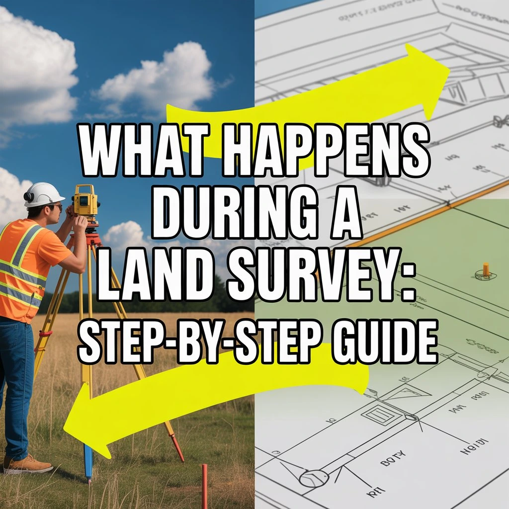
This guide explains the complete land survey process in a simple and easy way.
Step 1: Understanding the Project
The first step in a land survey is understanding the project requirements. The survey team communicates with the client to learn the purpose of the survey and collects all necessary property information.
This includes details such as property location, land size, legal documents, and any previous survey records. Based on this information, the surveyor decides the type of survey required, whether it is a boundary survey, topographic survey, or construction survey.
Step 2: Site Visit and Inspection
After understanding the project, the surveyor visits the property for a physical inspection. This step is important because every land area has different conditions.
During the site visit, the surveyor studies the terrain, existing structures, natural features, and access points. This helps the survey team plan accurate field measurements.
Step 3: Checking Legal Records
Before starting the measurement work, the survey team reviews all legal documents and land records.
They examine property deeds, previous survey maps, and government records. This step ensures that the survey matches official property boundaries and helps prevent future disputes.
Step 4: Setting Up Survey Equipment

Once the preparation is complete, the survey team sets up professional equipment at the site.
They use GPS systems, total stations, and digital measuring devices to capture accurate coordinates and land measurements. These tools allow surveyors to work with high precision even in large or complex properties.
Step 5: Field Measurements
This is the main stage of the land survey process. The surveyor collects measurement data directly from the site.
They carefully identify boundary points, land elevations, structures, roads, trees, and other important features. Each point is recorded with accuracy to create a reliable map of the property.
Step 6: Data Processing
After fieldwork is completed, all collected data is processed using specialized software.
The survey team converts raw measurements into maps, drawings, and digital models. They also review the data carefully to correct any errors and ensure accuracy.
Step 7: Final Report Preparation
After processing the data, the surveyor prepares the final report.
This report includes boundary details, maps, measurements, and technical drawings. It is used for construction planning, legal documentation, property transactions, and dispute resolution.
Step 8: Final Delivery and Explanation

In the final stage, the survey results are shared with the client.
The surveyor explains all findings in detail and provides official documents. These documents can be used for permits, construction projects, or legal purposes.
Why Land Surveys Are Important
Land surveys are important because they help avoid property disputes and ensure accurate construction planning.
According to the American Land Title Association, land surveys play a key role in clearly defining legal property boundaries and protecting property owners from conflicts.
When You Should Get a Land Survey
A land survey is recommended before buying property, starting construction, installing fences, or resolving boundary issues.
It is also often required when dividing land or applying for building permits in many regions.
Conclusion
A land survey is a step-by-step process that ensures accurate measurement and legal clarity of a property. Every stage plays an important role in delivering precise and reliable results.
Structura Surveying provides professional land surveying services using advanced tools and expert techniques. The goal is to deliver accurate results that support construction, legal requirements, and property decisions.
Contact Structura Surveying today to speak with our experts and get professional surveying support.