



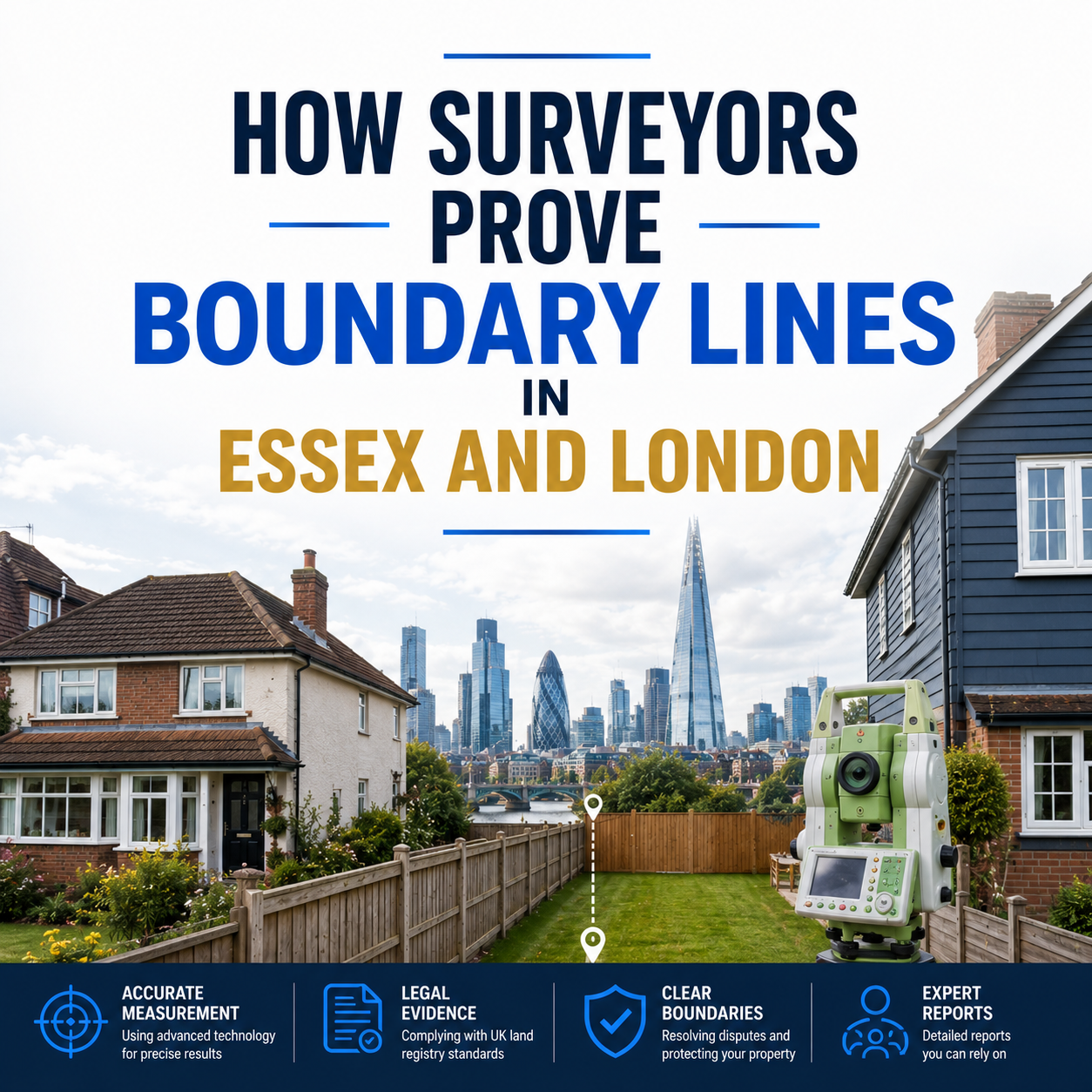
Have you ever looked at your garden fence and wondered whether it’s actually in the right place? You’re not alone. Across Essex and London, thousands of homeowners face uncertainty about exactly where their property ends and their neighbors’ begins. When a disagreement arises, one question always comes up: how do you actually prove where a boundary line sits?
This is where land surveyors step in. Using a mix of historical research, precise measuring tools, and legal know-how, surveyors are able to establish boundary lines with real accuracy and evidence. In this article, we’ll explain exactly how surveyors do this, what tools and documents they rely on, common issues they encounter, and why hiring a professional makes such a big difference.
How Surveyors Identify and Prove Boundary Lines
Proving a boundary line isn’t just about walking the garden with a tape measure. It’s a careful process that combines research, on-site investigation, and technical measurement.
1. Researching Historical Records
Surveyors start by digging into the history of the property. This includes original title deeds, conveyance documents, old maps, and previous Land Registry filings. These records often contain descriptions, measurements, or references to physical features that help establish where a boundary was originally intended to be.
2. Examining Physical Evidence on Site
Next, surveyors visit the property to look for physical clues. Old fence posts, the roots of long-standing hedges, wall foundations, and even changes in ground level can all hint at where a boundary has historically sat, sometimes for well over a century.
3. Taking Precise Measurements
Using specialist equipment, surveyors measure the exact position of these features and compare them against historical plans. This step turns rough historical descriptions into accurate, modern-day coordinates.
4. Cross-Referencing With Legal Documents
Finally, surveyors cross-check their findings against the legal description of the property. This ensures that what’s physically on the ground matches what was legally agreed upon when the property was originally divided or sold.
Tools and Documents Surveyors Use
Surveyors rely on a combination of traditional expertise and modern technology to reach accurate conclusions.
Common tools include:
- GPS and GNSS equipment – For highly accurate positioning, often accurate to within a few centimetres.
- Total stations – Devices that measure angles and distances precisely, widely used for detailed site surveys.
- Drones and aerial imaging – Useful for larger properties or rural land, giving a clear overview of the whole site.
- Laser measuring tools – For quick, accurate distance measurements on site.
Key documents surveyors review include:
- Title deeds and conveyance documents
- Land Registry title plans and filed plans
- Ordnance Survey historical maps
- Previous boundary agreements, if any exist
- Planning permission documents and building plans
Combining physical evidence with these documents allows surveyors to build a strong, well-supported case for where a boundary genuinely lies.
Common Boundary Issues in Essex and London
Boundary problems tend to show up in a few recurring patterns, whether in a leafy Essex village or a tightly packed London terrace.
- Vague historical descriptions – Older deeds often describe boundaries using landmarks that no longer exist, making the original intention hard to pin down.
- General boundaries on Land Registry plans – Land Registry plans show boundaries only approximately, not to the exact centimetre, which can cause confusion.
- Encroaching structures – Extensions, sheds, or fences built slightly over the boundary line, often unintentionally.
- Shifting natural features – Hedges that have grown wider over decades or fences that have been repeatedly rebuilt slightly off their original position.
- Disputes after property sales – New owners sometimes have a different understanding of the boundary than what a previous owner had informally agreed with a neighbour.
Benefits of a Professional Boundary Survey
Some homeowners try to work things out informally, but a professional survey offers advantages that are hard to match.
- Accuracy – Professional equipment and methods provide precise, reliable results rather than rough estimates.
- Independent evidence – A surveyor’s report is impartial, which carries real weight if a dispute needs mediation or legal action.
- Peace of mind – Knowing exactly where your boundary lies removes ongoing uncertainty and stress.
- Protection for future sales – A clear, documented boundary makes selling your property smoother and can prevent disputes for future owners.
- Avoiding costly mistakes – Confirming boundaries before building work prevents expensive problems like having to move or demolish a new structure.
Why we Need this?
Proving a boundary line is about far more than opinion, it takes careful research, physical evidence, and precise measurement to get it right. Surveyors bring together historical documents, modern tools, and legal knowledge to establish boundaries with genuine accuracy and confidence. Whether you’re dealing with a dispute or simply want certainty before starting building work, a professional survey in Essex or London is one of the smartest investments you can make in your property.
Frequently Asked Questions
- How do surveyors prove where a boundary line actually is? Surveyors combine historical documents like title deeds and old maps with on-site measurements and physical evidence, such as fence lines and wall foundations, to establish an accurate boundary.
- Are Land Registry plans enough to prove a boundary? Not on their own. Land Registry title plans show general boundaries only, meaning the exact line can vary. A detailed survey is needed for precise proof.
- What is a determined boundary and how is it different from a general boundary? A general boundary is an approximate line shown on standard title plans, while a determined boundary is a legally confirmed, precise line established through a formal application process.
- How long does a boundary survey take in Essex or London? Most residential boundary surveys take a few days to a couple of weeks, depending on property size, the availability of historical records, and site complexity.
- Can old fence positions be used as legal proof of a boundary? Yes, long-standing fence lines, hedges, or walls can act as strong physical evidence, especially when supported by historical documents and consistent long-term use.
- Do I need a survey before building an extension near a boundary? It’s highly recommended. A pre-construction survey confirms the exact boundary line, helping you avoid encroachment issues or costly changes after building work has started.
- Is a surveyor’s report accepted in legal boundary disputes? Yes, a professional, independent surveyor’s report is commonly used as key evidence in mediation, negotiations, and, where necessary, court proceedings.